Tuesday, August 13, 2024

Back To The Rock Genealogically

Family

Our first trip to the rock was only ten days which seemed like plenty of time to do and see everything we wanted to do. One of our the goals was to explore my family roots and visit the small village of Moreton Harbour where my grandmother Elsie Brett was born on August of 1918. She immigrated to Canada and the big city of Toronto shortly after 1935 when she was just 16. If some of you are struggling with the term immigrated, you must remember that Newfoundland did not become part of Canada till 1949. What had planned to be a one day visit on that first trip turned into three days. See my blog “Back To The Rock For the First Time”, May, 2010. While I learned a few things about my grandmother, I was left with a lot more questions. 


Research compiled over the next ten years has provided me with the names of my great grandfather and mother, great, great grandfather and mother and great, great, great grandfather and mother.

Great Grandfather- Wilfred Brett


Great Grandmother- Dulcie


Great, Great Grandfather- William Henry Brett

Great, Great Grandmother- Susan Jane (Forward)

Great, Great, Great Grandfather- Charles

Great, Great Great Grandmother- Julia     

All who lived and died on the Rock.

Many headstones were old and erosion had worn away any chance of telling who was buried there. 


The Brett family arrived in Moreton Harbour sometime between 1790 and 1818.  


Like most, they established themselves as a fishing family. 


By the beginning of the 20th Century Moreton Harbour had a population of about 500. The census of 1911 listed 12 Brett families with a total of 40 souls.
 The 2021 census stated that the current population of the village is now 28 but did not provide any names. It was not an easy life in Moreton Harbour. 


Further research did not find any Brett's still living in Moreton Harbour but the name lives on by virtue of a fairly new street sign.


I did discover an interesting footnote during our trip. Nonie and I attended a shed party in Twillingate where I mentioned to our host that I had family from Moreton Harbour. Not missing a beat she broke into a rendition of “I's The B'y That Builds The Boat”, a well known  Newfoundland folk song. For your listening enjoyment, I have attached a link to a YouTube video of a rendition sung by Great Big Sea.

`https://youtu.be/AQn-2xAlu7I


I's the b'y that builds the boat

And I's the b'y that sails her

I's the b'y that catches the fish

And brings them home to Lizer


Chorus:

Hip yer partner, Sally Thibault

Hip yer partner, Sally Brown

Fogo, Twillingate, Moreton's Harbour

All around the circle!

Moreton Harbour gets a shout out. 


Our visit to Rock was a success but there are still plenty of things we would have liked to do.


Would we return, you bet but there are too many other adventures on our Bucket List and we are running out of time. 

If we were ten years younger, we would be back. 


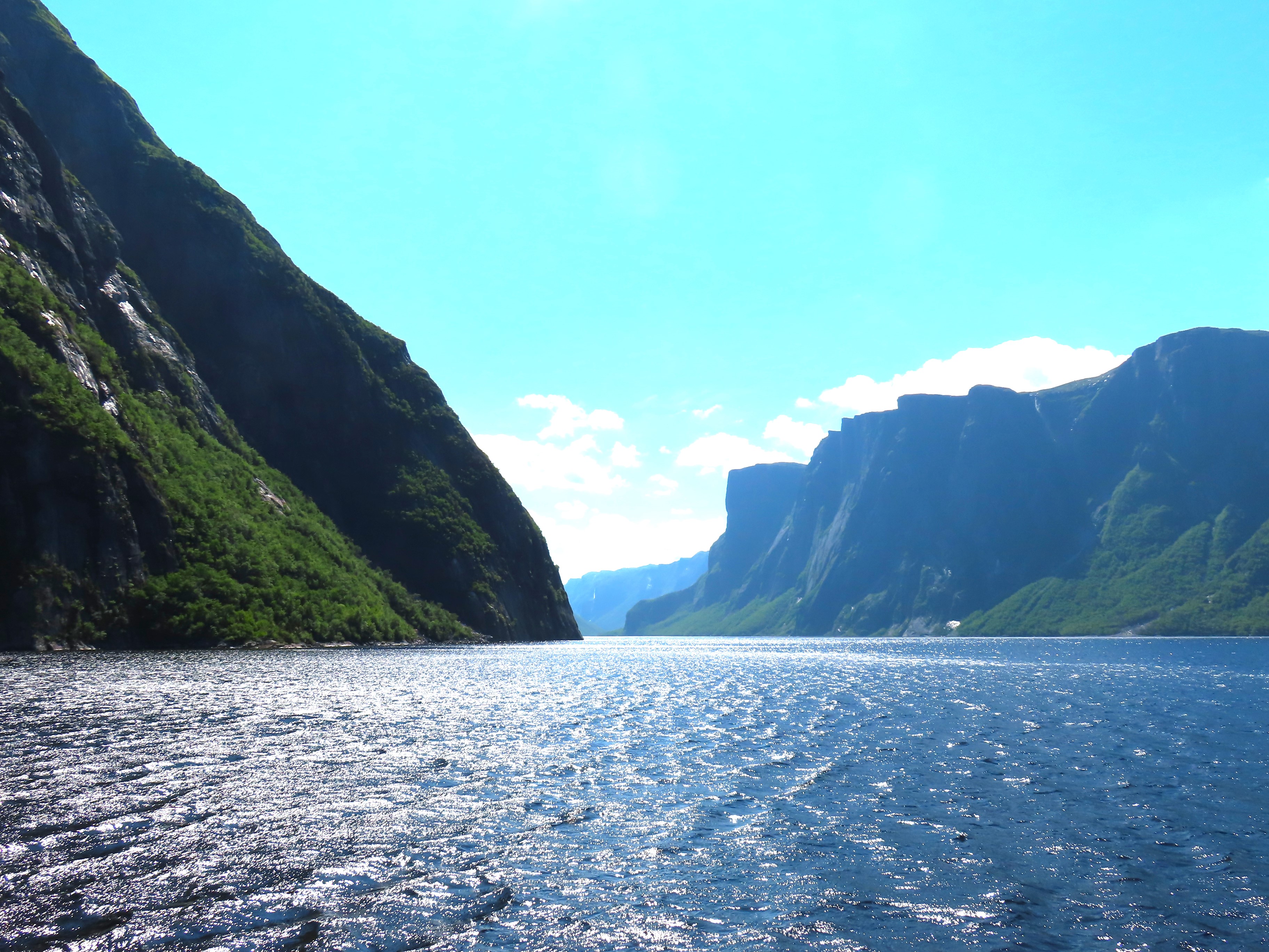
Even foggy and drizzly, it can still take your breath away. Though that might be the wind. 


Despite driving over 1500 kilometres and with an estimated 120,000 moose on the loose, you would have thought one would have made the effort to pop out onto the highway and let us admire his giant rack. We will have to make do with this sad Irving gas station moose though you have to admit he has a pretty big rack.

"Long may your big jibs draw" everyone. 


Monday, August 5, 2024

Back to the Rock Historically

 A Whale of a Time, Bergs Not So Much with a Side of Norse


St. Anthony's is known as the centre for Vikings, bergs and whales so we booked a boat tour that promised us both icebergs and whales. We woke happy to see clear skies. It was a little breezy but in the protection of the harbour it did not seem like it was going to be a problem.


Wrong! As we exited the harbour the wind hit with such a force that had the boat rocking front to back and side to side all at once. My kinetosis was going to be tested. 


As we headed out the captain informed us that the iceberg he had visited just off shore yesterday was now 3 kilometres off shore due to the high winds. Oh, oh!

Photo: Was taken by one of our fellow passengers with a super telephoto lens 


Saved by a whale. Within a few minutes of leaving the harbour, we spotted two vapour spouts, sure signs of whales. The berg was quickly forgotten to follow the whales. Very likely the ones we had seen on our hike along the Lamage Point Trail.


I had purchased a new camera for the trip with an impressive zoom lens specifically for berg, moose and whale sightings. The auto focus works well if you are standing still but not so much when you are trying to aim the camera in a bucking boat feeling like you want to throw up.


Thanks to the marvel of digital cameras I took over 90 shots but the boat was moving so much that I was never able to capture the whale breaching in a tight frame. My first 70 shots were of empty ocean. I opened the frame wider for the last 20 and managed to catch a bit of whale in some of them, most often on the edge of the shot. Thanks to Photoshop and their cropping tool I can prove we saw some humpback whales.  


I eventually gave up and just enjoyed the sightings storing them in my cranial memory bank. Well, at least till Alzheimer's set in.

The whales allowed us to visit with them for over an hour but no acrobatics today, they were busy feeding.  


This left us without enough time to run out to the iceberg. But they did have a fall back berg. The same one we had seen on or first day arriving into St. Anthony. It had become trapped in the bay and would likely end its day melting away there. Once we entered the bay, protected from the wind my puke meter went down a couple of notches.


Getting up close to an iceberg can be dangerous. Typically the unseen part of the berg can be quite a bit larger than what can be seen above the water line and it were to roll over the boat could be capsized so we remained a healthy distance from it. 


We were lucky to see a small iceberg roll over on our trip up Tracy Arm near Juneau Alaska. The colour of the newly exposed ice was a stunning  glistening blue  like that of an expensive diamond.


Photo: Tracy Arm Alaska 1998


I spent the rest of the day with some vertigo and queasiness. Tomorrow we head to L'Anse aux Meadows and the wind is forecast to be the highest we have seen yet. It will be our last day before we start our journey home and I think the Rock wants to give us good send off.

L'Anse aux Meadows- Parks Canada

At the tip of Newfoundland’s Great Northern Peninsula lies the first known evidence of European presence in the Americas. Here Norse expeditions sailed from Greenland, building a small encampment of timber-and-sod buildings over 1000 years ago 

Photo: Getty Images


Against a stunning backdrop of rugged cliffs, bog, and coastline, discover the fascinating archaeological remains of the Viking encampment, declared a UNESCO World Heritage Site in 1978.

Growing up in the 50's I was taught that “in 1492 Columbus sailed the ocean blue” and discovered America. We now know the Vikings were the first Europeans to visit America by 500 years thanks to the discoveries made at L'Anse aux Meadows. Based on carbon dating it is estimated that the Vikings occupied the site between 990 and 1050 C. According to Wikipedia it is the only undisputed site of pre-Columbian trans-oceanic contact of Europeans with the Americas.


When the site was first discovered it was thought to be an indigenous site. Evidence that at least 5 different indigenous groups occupied site with the oldest dating back 6,000 years. None of which were contemporaneous with the Norse occupation. Exploration starting in 1960 and over the next 7 years uncovered the remains of 8 structures that compared to similar sites in Greenland and Iceland circa 1000 BC.


Artifacts recovered from the excavations included iron nails, tools and other sundry Norse-style items. The artifact that sealed the confirmation that it was a Viking settlement was a small object called a wood spindle and similar to ones found on Greenland and Iceland. 

Photo:themaritimeexplorer.ca


The site is on a wind swept point. Today the wind speeds had gusts of  70 kph. Made me wonder why the Vikings would pick such a miserable place? But 1200 years ago the site was a different place with stands of balsam, larch and birch trees growing around it.


Books written around 1200 C (The Saga of Erik the Red, The Saga of Greenlanders) gave accounts of Norse voyages to Vinland, thought to be the coasts of North America. A statue of Viking explorer Leif Erikson has been erected in the small town of L'Anse aux Meadows as an attraction to a well known restaurant, Leif Erikson's saga was that he had been blown off course by a powerful storm while returning from Norway to Greenland and ended up on the Rock.


Our trip is almost over and the Rock did not disappoint. It blew us away with its scenery, the friendliness of the people and its gale force winds. Will we be back? We would if we could but we are running out of time and we still have so much to see and do. 

Friday, August 2, 2024

Back To The Rock By Boat

Back to the Rock By Boat

Fjord Like


The geographic definition of a “fjord” is  "a long, deep and narrow sea inlet where the shoreline cuts into the mainland and fills with sea water. The cliffs are high and steep having been cut by glacier action".


It must be longer than it is wide or it is called a bay.


Welcome to West Brook Pond, a pretty fjord like body of water located at the north end of Gros Morne National Park.


We are booked for a boat tour on the West Brook I for a 90 minute tour of this stunningly beautiful fake fjord.


It has all the attributes of a real fjord except  one thing. West Brook Pond is a landlocked freshwater body of water. The Newfoundland Dictionary of English describes a "pond" as "a natural body of still water of any size". Hence its name West Brook Pond.


It is fjord like. It had been carved by ancient glaciers. It is 16 kilometres in length but less then a kilometre wide and 166 metres deep. It was claimed by the boat captain that some of the cliffs are taller than the CN Tower which has a height of 553 metres.


It has a stunning hanging water fall.


Just one waterfall of many.


The trip is not a simple one, it required a three kilometre stroll on a well maintained path to get to the boat launch but worth every step. We had made the round trip twice. We had booked the morning tour the previous day but it was cancelled due to a thick fog that the weatherman promised would be gone by departure time. But only after we had walked the three kilometres in during a pretty good rainfall did we find out it was cancelled. 


As you can see from the pictures the second trip was the charm. 


Sun was shining, no wind so the pond was placid and calm. I suffer from kinetosis and wind and boats are not my friend.